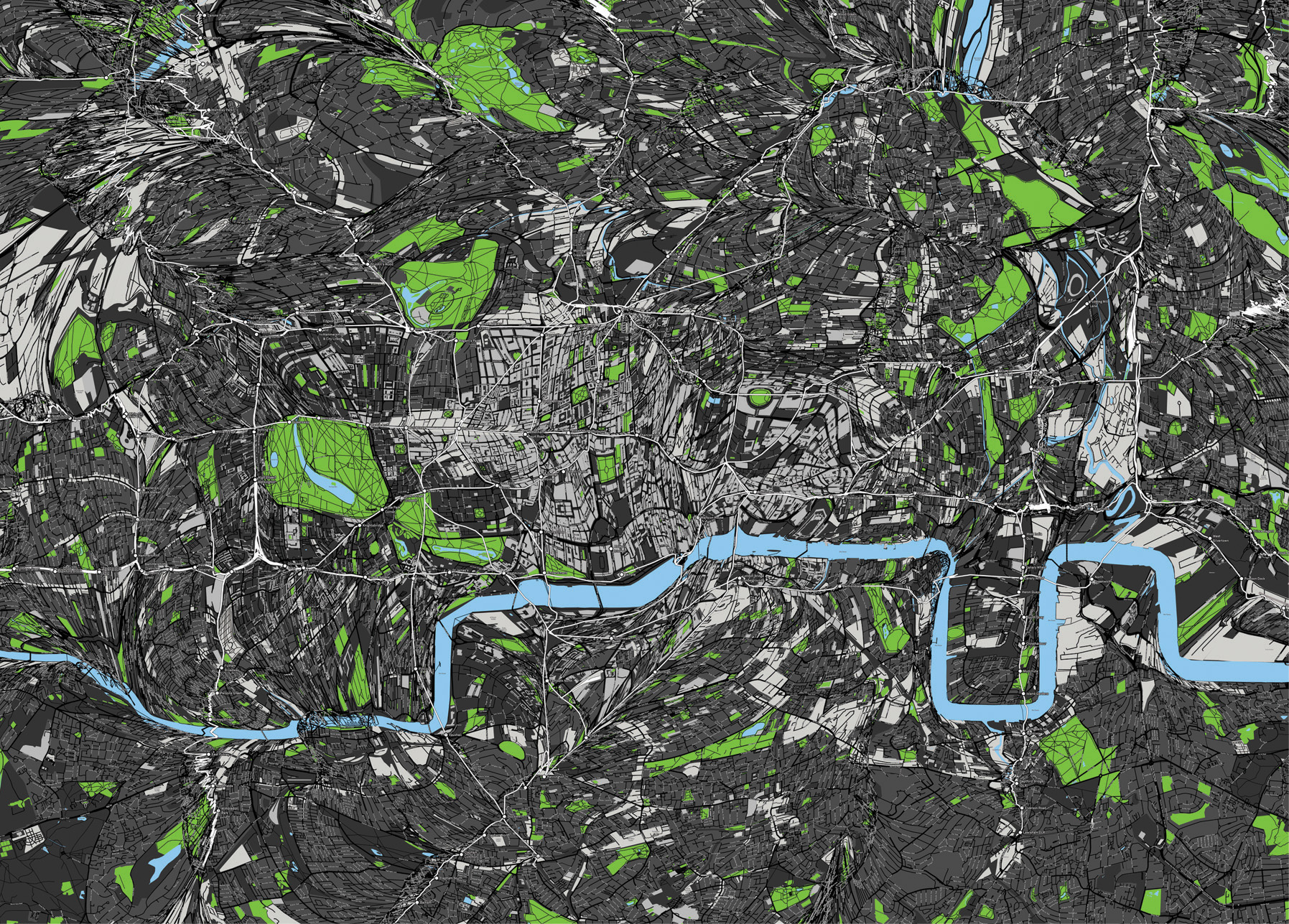
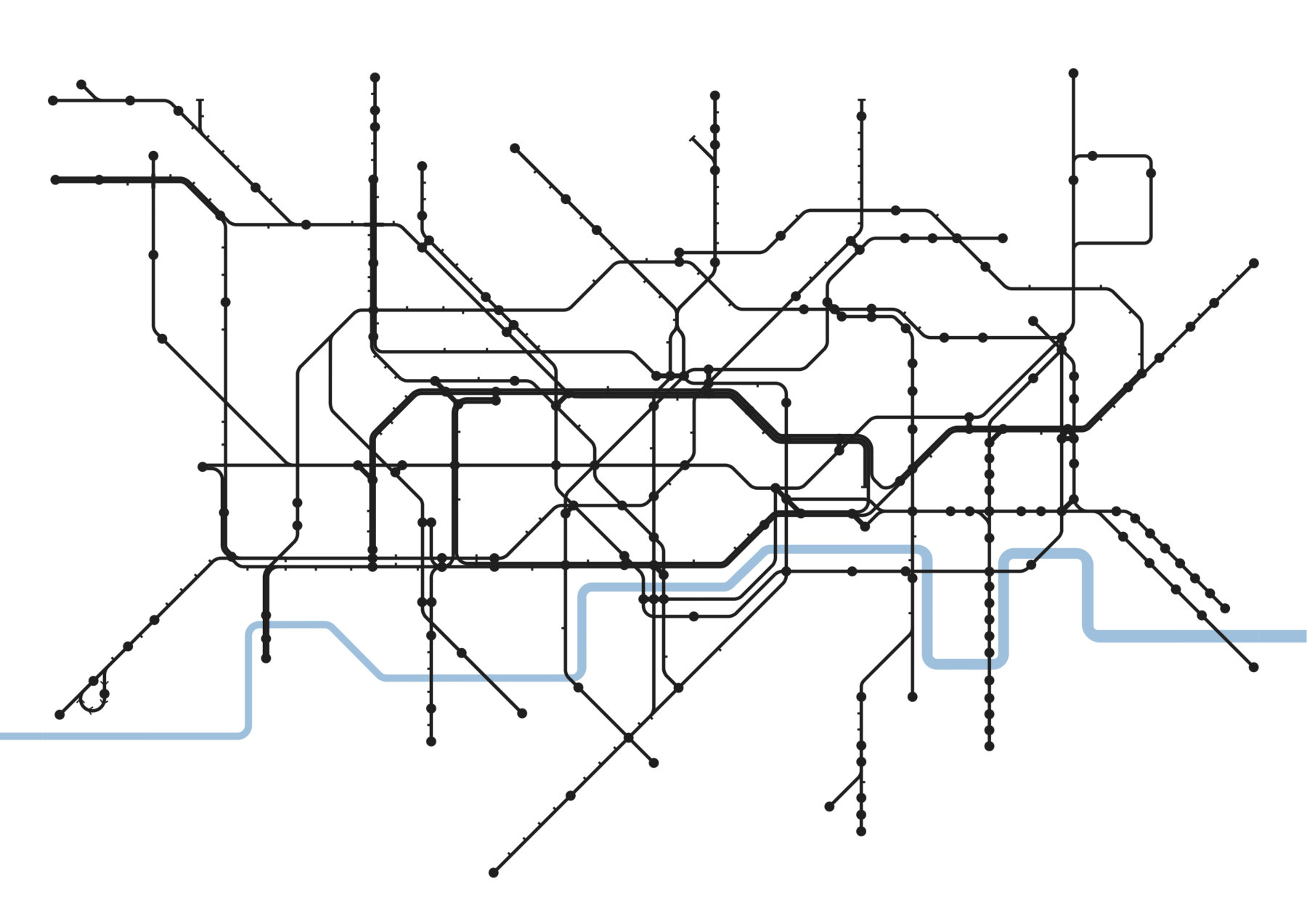
Humans have created various sets of instruments to help them find their way around the landscape: maps, signage, satellite navigation, etc. Maps are abstracted projections of the real world’s spatial arrangement, and whether intentional or incidental, they are loose artefacts of reality. For instance the geographical structure of transportation networks are often reshaped to provide users with more understandable transit maps. These distortions have a major influence on people’s perception of a city’s geography, to the point they get stored mentally and become the collective representation of the real world’s geography. Metrography explores this phenomenon for the most famous of the transit maps: the London Underground.
Print on aluminium
Data as Culture 2012
July 2012 - March 2013 at the Open Data Institute
Closed, Commercial, Environmental, Geospatial, Identifiable, Open, Processed, Static
Benedikt Groß is a speculative and computational designer who works antidisciplinarily. His work deals with the fascination of relationships between people, their data, technology and environments. He has a MA in Design Interactions from the Royal…
Read more
Bertrand is a multidisciplinary designer based in London, UK. He is interested in ideological differentials, cultural negatives, the spaces between fiction, history, hyperreality, and the depiction of their prospective implications for the real. In parallel, Bertrand…
Read more